
By Kalvin Valdillez, Tulalip News
Each year during the month of December, maps are displayed at the Tulalip Administration building. The maps aren’t in preparation of a long road trip nor for a treasure hunt adventure, instead they hold a more significant value to Tulalip tribal members, employees and the community.
A necessity to governments, especially sovereign nations, Geographic Information Systems (GIS) play a huge role in preserving resources for future generations. GIS is the technology that allows the tribe to monitor, question, analyze, and interpret geographically referenced data to understand relationships and patterns throughout the reservation.
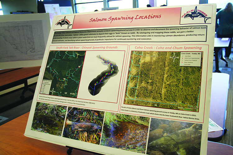
The GIS team creates a variety of maps to study a range of topics including historical events as well as natural and cultural resources. The tribe uses GIS to track salmon during spawning season to find how far they travel. During this process the tribe often finds blocked culverts and alerts Washington’s Department of Transportation. The GIS team uses this information to assist with the Culvert Replacement project the State recently passed.
Other maps displayed the progress of the Qwuloolt Estuary Project, traditional names of local cities, neighboring Salish tribes who also speak Lushootseed, and a map depicting how far each tribe had to travel to sign the Point Elliot Treaty of 1855.
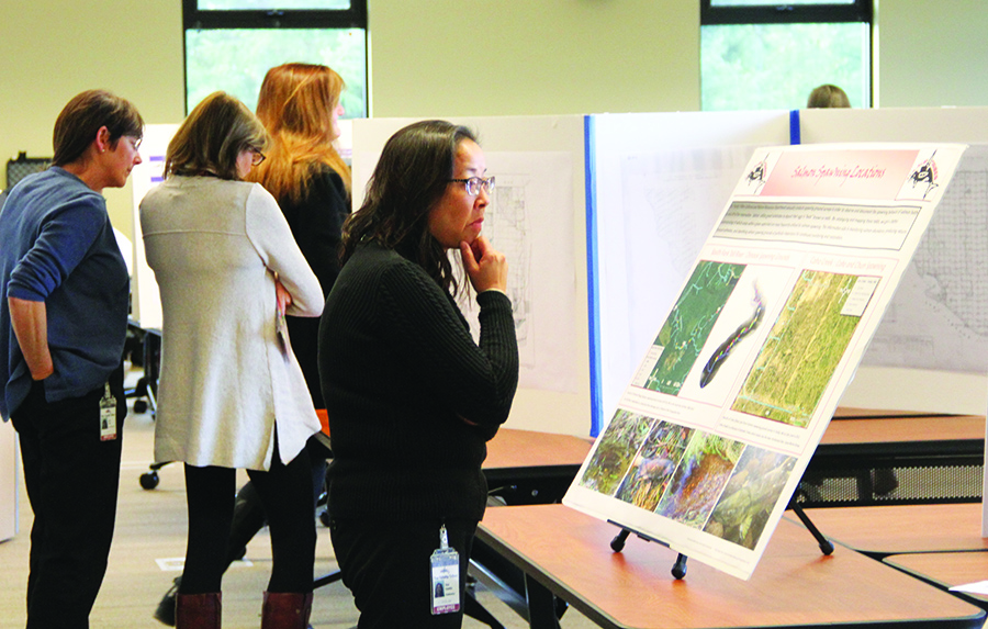
GIS specialist Michelle Totman was available for personal tours, giving detailed descriptions and teaching community members how to read and analyze the maps. She states, “It’s a unique way to see the world and a great way to understand how we are connected to each other.”
During its eleventh year, the map and technology expo attracted plenty of curiosity. The event included live land-surveying demonstrations and activities. Several departments that collaborate with the GIS team were present to speak about the importance of GIS in tribal government. Community members dropped in throughout the day to learn about GIS and how the technology is assisting the tribe’s vision for a thriving environment for future generations.
For further information about Tulalip’s Geographic Information Systems visit http://GIS.TulalipTribes-nsn.gov